
Jackson Street Directory: Address to Owner
For a current Jackson address, begin with the property rather than a name. The state assessment search can turn an address into a parcel, a situs address, and an owner of record. That owner name is the bridge to the land-record trail. It is not proof that the owner lives there, since tax mail can go elsewhere and an owner may not occupy the property. Treat the first result as a documented starting point, then retain the parcel ID and legal description as the search moves between offices.
- Enter the address in Tennessee Property Assessment Data and save the owner, situs address, parcel ID, lot, and subdivision if shown.
- Use the owner as grantee at the Madison County Register of Deeds to locate the purchase instrument and record its date, reference, legal description, and seller.
- Check the Madison County voter-information lookup only to verify an individual registration or polling record. For a geographic data request, confirm current terms and fields with the Election Commission.
- For earlier Jackson households, search a reverse or criss-cross directory by street address, then use its alphabetical section to confirm the name.
The order matters. Assessment records lead to title, title preserves a legal parcel description, voter tools concern registration rather than every household, and old directories belong to a particular year. That sequence keeps an address search from turning a single owner field into an unsupported claim about present residents.
Jackson Street Directory: TPAD Fields
Tennessee Property Assessment Data is the clearest online address tool for Jackson and Madison County. Choose Madison County, use a simple search term, or open Advanced Search. A street number is optional in the Property Address field, so an address-text search can be widened for a block and then narrowed with the parcel clues returned. The portal is free, and its result pages display a tax year and data-last-updated date.
| TPAD field | How it helps a Jackson address search |
|---|---|
| Owner Name | Accepts forms such as John Smith or J Smith for a titled-owner lead. |
| Property Address | Searches the situs location; a street number can be omitted. |
| Subdivision and Classification | Refine a broad Jackson street result when a name or street repeats. |
| Sale Date Start and End | Limit results to a recorded-sale time range. |
| Control Map, Group, and Parcel | Use the local parcel components when an address is unclear. |
| Sort By | Sort by owner, property address, parcel ID, subdivision, classification, or sale date. |
TPAD result rows can show owner, property address, control map, group, parcel, special-interest indicator, parcel ID, subdivision, lot, class, and sale date. Those are parcel facts. The owner mailing address is for tax correspondence, while the situs address is where the parcel lies. Neither field alone proves every person at a Jackson address.
The Madison County Assessor page documents the local office that supports this work.

The Assessor is at 100 E. Main Street, Suite 304, and staff can provide scanned parcel folders, property record cards, physical 400-foot and 100-foot maps, and in-office Map Viewer access. Those counter materials are useful when a web result lacks the older paper trail.
Jackson Street Directory: Map Each Parcel
The Jackson Property Search Map adds the geography that an assessment row cannot show. Pan or search to the street, click the subject parcel, and note its parcel ID and legal description before following any linked assessment record. Then click parcels that share a boundary or face the address. This is a careful way to inspect a short block without treating a map as a list of occupants.
The viewer is associated with the county's zoning and land-use information. Parcel boundaries, aerial or orthographic imagery, zoning, flood, and district context may be available as layers, but the exact live control names were not verified in the research. When a needed tool does not appear online, the Assessor's in-office Map Viewer and printed map scales are the documented fallback.
The Madison County zoning and land-use page points researchers toward the property-map route and planning contacts.
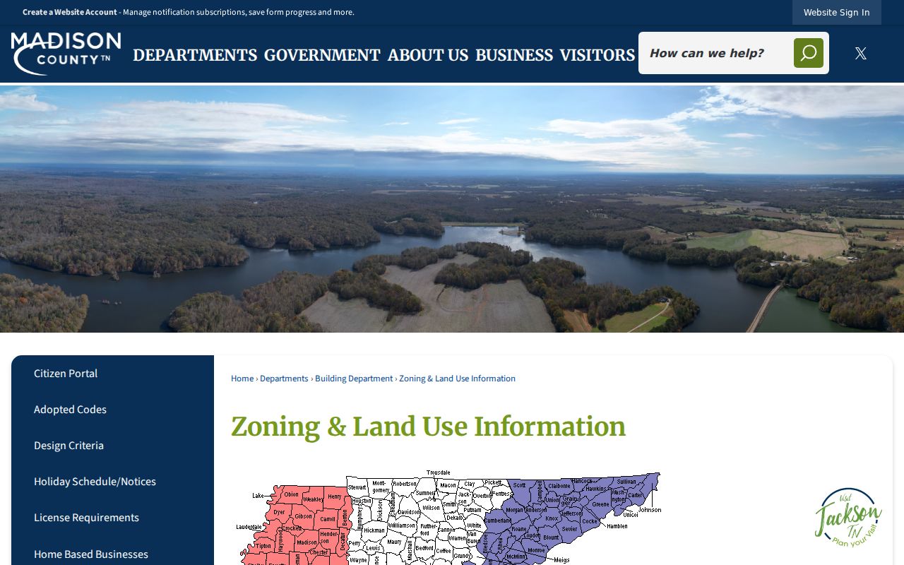
Map context can distinguish a parcel, subdivision, or district. It does not turn nearby parcel boundaries into evidence about private household members.
Jackson Street Directory: The Deed Chain
The Madison County Register of Deeds maintains land records dating to 1821 and says the office is computerized. Its public county page does not publish a verified search URL or online cutoff, so call or visit rather than guessing that an old image is online. The office holds deeds, trust deeds, liens, plats and maps, military discharges, UCC filings, and other land-document classes. It is at 100 E. Main Street, Suite 109, open Monday through Friday from 9:00 a.m. to 5:00 p.m., at 731-423-6028.
Use the current owner as the grantee, find the purchase deed, and record the seller or grantor, recording date, book and page or instrument number, and legal description. Next search that seller as a grantee for the earlier purchase. Continue one transaction at a time. A plat helps when a deed names a lot and block but omits a familiar Jackson street number. A deed records a transfer of an interest, not a move-in date.
- Parcel
- A locally identified piece of taxable land, usually tied to a parcel ID and mapped boundary.
- Situs address
- The physical location of the property, distinct from a tax mailing address.
- Plat
- A recorded map that connects a subdivision, lot, block, and streets to the legal description.
- Criss-cross directory
- A historical directory arranged by street and address so a past household can be found from a location.
For the early portion of a Jackson title trail, Tennessee State Library and Archives has direct and reverse Madison County deed-index microfilm for 1821 through 1899. A direct/reverse search and the legal description are safer than relying on a modern street spelling.
Jackson Street Directory: Building History
Jackson Building & Codes, at 119 E. Main Street, Suite 208, handles permit applications and payments through ViewPoint, project-review status, and code-violation routing through Ready311. The office lists weekday hours of 8:00 a.m. to 4:00 p.m. and phone 731-425-8262.
A permit or code record may place an address, project, applicant or contractor, and date in a chronology. It does not establish title, and the available public fields and historical online cutoff were not verified. Ask for an address and date range through the city records process if a past permit file matters. The distinction prevents a Jackson street directory search from confusing a building record with a deed or a resident record.
For a Jackson street comparison, keep the source identifiers beside the address: parcel number for assessment, instrument reference for a deed, and project or request details for a city file. That makes it possible to check a later record against the same location without assuming that a person named on one document appears on every other record. A clear date range also helps the custodian locate older material.
Note: A permit can date construction, alteration, demolition, or inspection activity, but its applicant is not necessarily an owner or occupant.
Jackson Street Records by Address
Each address-keyed source answers one part of a Jackson street question. The strongest result is a file of recorded facts, not a merged household profile. Use the parcel ID or legal description to connect property sources, and use a year whenever an older directory or permit is involved.
| Jackson address source | Query key | Useful result | Access route |
|---|---|---|---|
| TPAD assessment | Address, owner, parcel, subdivision | Owner, situs, parcel, lot, class, sale date | Free state portal |
| Property map | Street, map click, parcel | Boundary, legal description, adjacent parcels, map context | Web map or Assessor office |
| Deed index | Grantor, grantee, legal description | Parties, recording, instrument reference, plat links | Register office and early TSLA microfilm |
| Voter data | Individual lookup or authorized geographic order | Registration, polling information, or selected order fields | Election Commission channels |
| Permit and code records | Address and project or date range | Project or issue chronology | ViewPoint, Ready311, or request |
| Reverse directory | Street, address, year | Historical address and household clues | Tennessee Room or TSLA |
Madison County property-tax search instructions distinguish the Trustee's tax collection work from the Assessor's property valuation records.
Tax-payment information can add a property history clue, yet it should remain separate from the assessment and deed records that identify the parcel and title trail.
Jackson Streets: Grid or Cul-de-Sac
Jackson's older core has connected streets and blocks, while later postwar areas include larger lots, winding roads, and cul-de-sacs. That difference changes the best search key. An older-grid address may benefit from a directory street section and a lot or block reference. A later subdivision often needs the parcel map, aerial context, subdivision name, and plat.
No verified citywide renumbering year was found. Do not assume a modern Jackson number appears in an old deed. Compare an old and new street name, legal description, lot and block, plat, courthouse map, directory cross-reference, and nearby landmark before treating two addresses as the same place.
Jackson Planning reviews new streets and subdivisions, so planning and recorded plats can also clarify how a later street layout relates to an earlier parcel. Use them for geographic continuity, while leaving the question of past households to dated directories, census schedules, and recorded title documents.
Jackson Street Directory: Past Addresses
The Tennessee Room at the Jackson-Madison County Library holds city directories, maps, newspapers, obituaries, and local records, making it the practical historical fallback when a current address search stops. Its directory runs include Jackson volumes from 1904 through 1913, scattered 1937 through 1960 volumes, and listed Polk runs from 1998 through 2015. The exact reverse-directory run was not verified, so confirm the year and format with staff before relying on a shelf entry.
Search the street section for an address, then check the alphabetical listing for spelling, occupation, spouse notation, or a business entry where present. Pairing a directory year with the nearest census gives better context for who lived there before. The historical collections themselves are described in the Jackson city directories.
Jackson Street Voter-List Myth
A common mistake is expecting the Tennessee voter lookup to return everyone on a Jackson street. The inspected public lookup is for an individual's registration and polling information. It is not an open address-by-address roster. A property owner field and a voter record also answer different questions, so neither one should be used to fill gaps in the other.
Madison County does provide a voter-data order form with choices such as City of Jackson, district slices, residence address, mailing address, precinct, district, and selected voting history. The captured form lists CD or USB at $50, paper at $0.03 per name, and a daily vote email at $45, but the form directs users to confirm current terms. Protected records can still be withheld. That formal channel is not the same thing as a public whole-street browser.
Jackson Street Directory: Privacy Boundaries
A Jackson street directory cannot reveal every person connected to an address. Property rolls identify owners of record, not all occupants. The public voter lookup is for an individual's registration and polling information, not an open whole-street roster. The county data-order form offers geographic choices and selected residence, mailing, precinct, district, and voting-history fields, but current price and lawful-use terms should be confirmed before ordering. Protected voter records and Tennessee Safe at Home rules can limit disclosure.
Private utility-customer information and motor-vehicle personal data are not an address directory. A missing name may mean the person is not titled to the parcel, is absent from the historical year searched, has moved, or is protected. It is not evidence that no one lives there.
Lawful use. Use Jackson address records for personal, family-history, property, or civic research. Never use an address trail to monitor, threaten, stalk, harass, or harm another person.