
Jackson ZIP Code Coverage
Jackson’s commonly listed ZIP set is 38301 through 38303, 38305, 38308, and 38314. The entries below describe the level of coverage documented in official USPS and agency listings. They are not street-by-street boundary claims. For a delivery answer, verify the complete address with USPS rather than assigning a ZIP from a neighborhood name or a nearby address.
| ZIP | Areas covered | Post office | Notes |
|---|---|---|---|
| 38301 | Central, east, and south portions with common Jackson mailing use | Jackson postal designation | Verify each street with USPS |
| 38302 | Jackson postal listing | Jackson PO-box or special use | Exact delivery geography not located |
| 38303 | Jackson postal area | Jackson postal designation | USPS controls address-level validity |
| 38305 | Broad Jackson delivery area | Jackson postal designation | Also carries a Jackson SCF label in USPS material |
| 38308 | Jackson special, PO-box, or delivery sector | Jackson postal designation | Verify at the address level |
| 38314 | Jackson postal listing | Jackson postal designation | Exact boundary not located |
Nearby 38313 is Beech Bluff, not a Jackson city ZIP. Do not quietly fold it into a Jackson postal-directory search. Postal delivery geography, municipal jurisdiction, and Madison County geography overlap, but they are not one boundary system.
Jackson ZIP Code Address Checks
The USPS delivery-address lookup is the verification tool for an exact Jackson mailing address. Enter the full address and preserve the returned delivery city and ZIP. A generic ZIP search cannot settle whether a specific house, suite, or PO box uses that code. Date-stamp a result because USPS assignments and special uses can change.
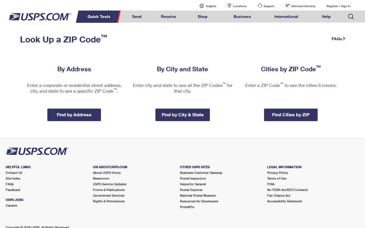
The USPS form resolves postal delivery, not property title, city limits, or household membership. Use a GIS or official county map for geographic questions, and use an address-keyed official record for a parcel question.
Myth: every Jackson mailing address is inside Jackson city limits. A Jackson ZIP can serve an address outside the municipal boundary, and a parcel within the city can have a different mailing designation. Postal labels are useful, but they do not decide jurisdiction.
Jackson ZIP Directory Search Steps
A postal directory can narrow a research question, but the usable record path changes with the source. USPS confirms delivery. Tennessee Property Assessment Data works from a property address, owner, or parcel. The Madison County voter-data order uses city, precinct, and district slices, not a stated ZIP checkbox. A ZIP field in a specialized registry does not create a general resident roster.
- Confirm the complete mailing address with USPS and record the returned ZIP or ZIP+4.
- Search the address in Tennessee Property Assessment Data and save the situs, owner, parcel, and legal-description clues.
- Use the Jackson/Madison County property map or the TDOT Madison County map to check municipal and road geography.
- For election data, contact the Election Commission about a current City of Jackson, precinct, or district order rather than assuming a ZIP filter exists.
- Once a ZIP has narrowed the area to an address, use the Jackson street directory for the address-keyed record trail.
Property owner and property address are separate fields. A tax mailing address is correspondence information, while situs is the parcel location. Neither proves that every person at an address is a current occupant.
Jackson Parcel Search Fields
Tennessee Property Assessment Data is the documented statewide property search for Madison County. It does not list ZIP as an Advanced Search field. Use Property Address, then narrow a broad return with subdivision, classification, sale date, control map, group, or parcel. This is an address-driven route, not a verified ZIP-wide property filter.
| Field | Documented format or use |
|---|---|
| County | Select the county for a county-specific search. |
| Search Term | Property address, owner name, or parcel ID. |
| Property Address | Street number is optional; a street name can begin a broader search. |
| Subdivision Name | An optional refinement for an address result. |
| Control Map, Group, Parcel | Local parcel-format refinements, including a five-digit parcel with an optional decimal after the third digit. |
| Sort By | Owner Name, Property Address, Parcel ID, Subdivision, Classification, or Sale Date. |
A TPAD result can show owner, property address, control map, group, parcel, special interest, parcel ID, subdivision, lot, class, sale date, tax year, and data-last-updated date. It has no documented ZIP field. Sort or review returned addresses only after the postal assignment is verified elsewhere.
Jackson Voter Geography
The Madison County Election Commission’s public voter lookup confirms an individual’s registration and polling information. It is not a ZIP directory or a public block list. The county order form offers City of Jackson and precinct or district products, with selectable fields such as residence address, mailing address, precinct, county district, city council district, school board district, state representative district, and voting history.
Madison County voter registration information explains registration and address-update rules.
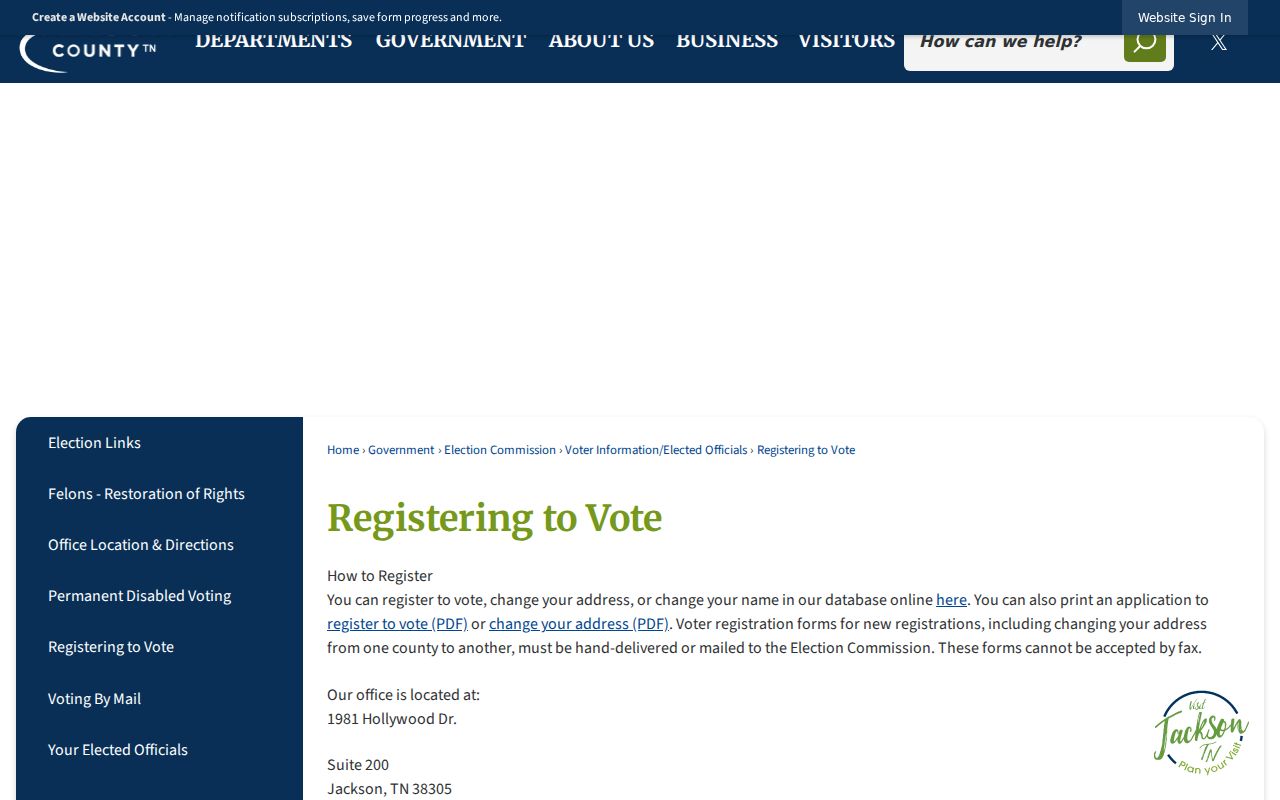
The registration material supports address maintenance, not a conclusion that a postal ZIP contains all current voters. The Election Commission says a move must be reported by the voter; USPS does not notify the office automatically.
Madison County election statistics provide precinct results and turnout files.
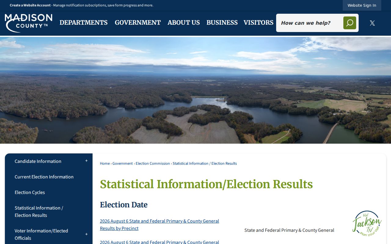
Precinct results offer civic geography, but a precinct is not a ZIP boundary and turnout does not identify the people who live on a given postal route.
Jackson ZIP Codes and City Limits
ZIP boundaries and Jackson city limits solve different problems. USPS assigns delivery geography. A municipal boundary governs the city jurisdiction. A parcel legal description and parcel ID control title. Jackson’s older city grid and later subdivisions, annexations, and postal routes make it risky to use “Jackson, TN” on a deed or directory as proof of current city limits.
Census QuickFacts for Jackson supplies city-level demographic and geographic context, which should not be confused with a postal allocation.
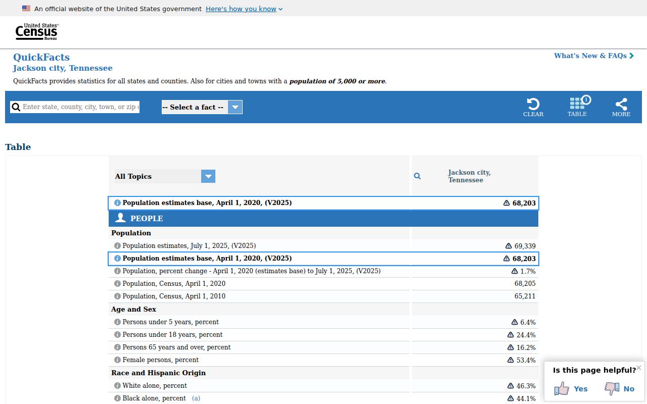
A city statistic is reported for the municipality, while a ZIP can extend across a city line. Check a parcel map, recorded description, or official boundary map when city jurisdiction is material. No verified Jackson ZIP split or realignment year was located, so do not invent one from an old mailing label.
Insider tip. Preserve both the USPS result and the parcel identifier when a Jackson address sits near a boundary. They answer different questions and can prevent a postal label from being mistaken for a city-limit finding.
Jackson ZIP Code Terms
Postal and property terms should stay separate in a Jackson postal-directory search. The same street can appear as a directory address, a voter residence or mailing address, a TPAD property address, and a deed legal description. Comparing the wrong fields creates false matches.
- ZIP code
- A USPS delivery code for an address or postal use. It is not a municipal boundary.
- ZIP+4
- An added delivery segment that makes an already verified ZIP more specific for mail handling.
- PO-box or unique ZIP
- A code used for PO boxes, special postal use, or an individual delivery arrangement; it does not establish a broad neighborhood boundary.
- Carrier route
- A USPS delivery sequence, not a city district or a public roster.
- Situs and mailing address
- Situs is parcel location; mailing address is tax correspondence. The legal description and parcel ID control title.
The Tennessee Sex Offender Registry is one specialized system with an explicit ZIP search field, but it is not a general resident directory and its misuse warning must be observed. Historic reverse directories can place an occupant at an old address, yet those volumes are held through the Tennessee Room or TSLA rather than a ZIP portal.
Jackson ZIP Code Search Limits
A ZIP field does not create a full list of Jackson residents. The Tennessee Sex Offender Registry is a specialized registry that allows optional combinations of name, alias, address, city, county, ZIP, ID, status, and offense. It says its information comes from registering agencies, is updated daily, and must not be used for threats, intimidation, stalking, or harassment. Its purpose and warning limit it to that registry’s official use.
TPAD has no documented ZIP field. The individual voter lookup confirms registration and polling details, while the county’s data order is organized by City of Jackson, precinct, and district choices rather than an identified ZIP box. Historic reverse directories can move from an old street address to an occupant, but they are historical volumes at the Tennessee Room or TSLA, not a current ZIP search.
Private utility, customer, and delivery databases are not public sources. A property owner can live elsewhere, and a voter address can be inactive or stale. Use the exact address, the record type, and the custodian’s access channel instead of treating a postal code as proof that a person currently lives in an area.
Jackson ZIP Code Historical Context
Jackson’s older central areas follow a city and county street grid, while later subdivisions add postwar streets and cul-de-sacs. The Planning Department reviews new streets and subdivisions, and the TDOT county map shows municipal boundaries, roads, rail, waterways, and scale. An older directory or deed may use a street reference that needs a plat, legal description, or map before it can be compared with a current postal address.
No verified citywide renumbering or street-renaming year, and no specific Jackson ZIP split or realignment year, was located in the research. That absence is important. Do not assign a new ZIP to an old record by assumption. Compare the directory year, census year, deed legal description, plat, and USPS address result, then record any remaining uncertainty.
Jackson’s growth, annexations, and postal routes explain why a city name can outlast a boundary change. A postal result establishes the delivery address for the time checked. A parcel, municipal map, or recorded legal description is needed for a separate geographic conclusion.